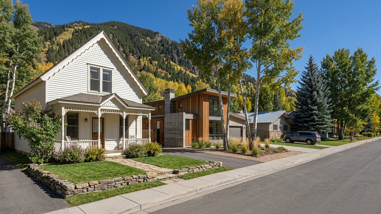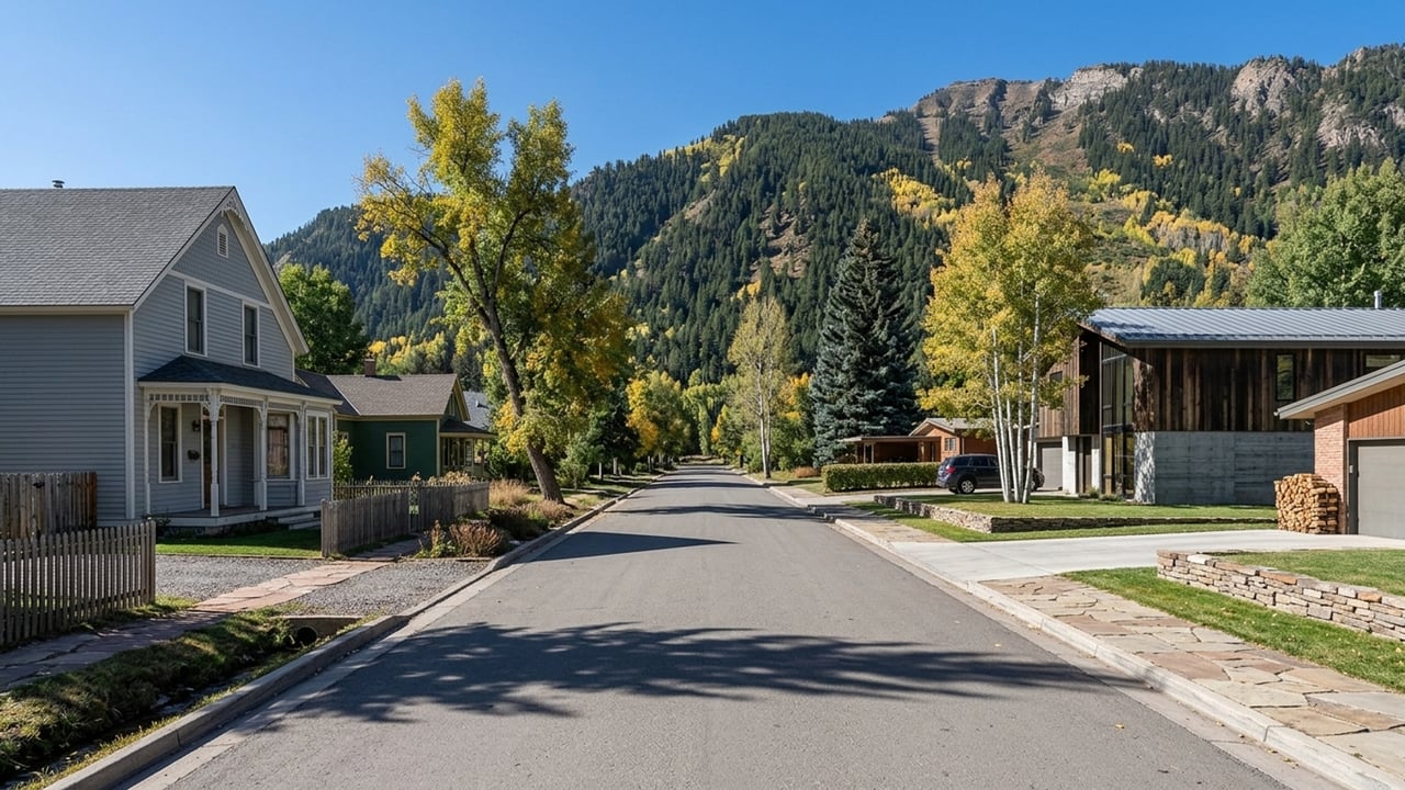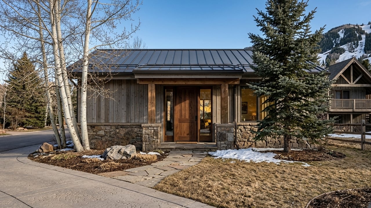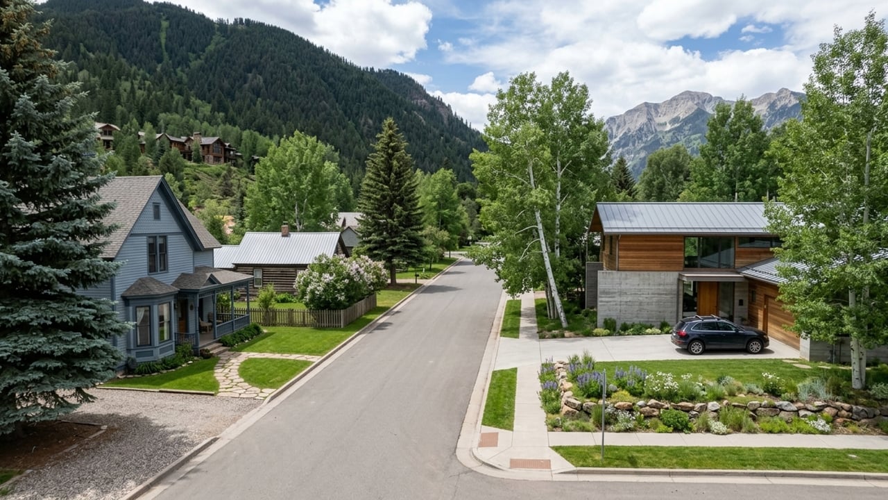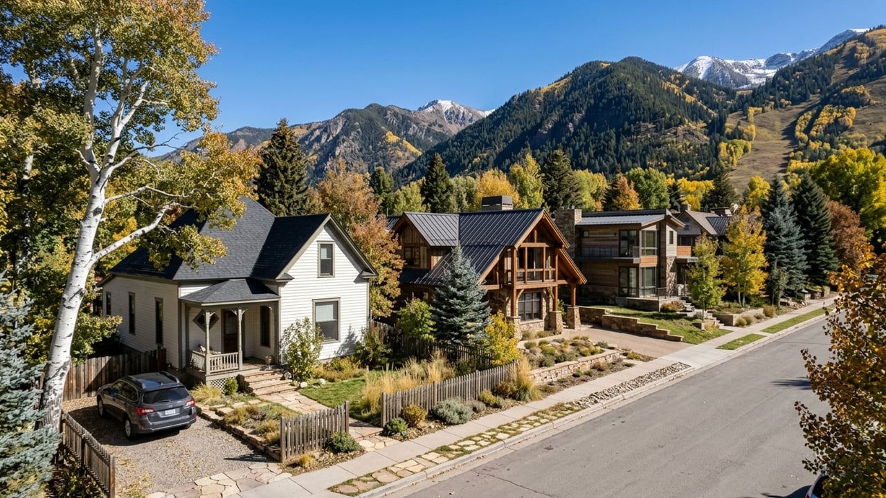
Aspen, CO sits high in the central Rocky Mountains, west of the Continental Divide on Colorado's Western Slope. Encompassing specific Aspen, CO zip codes, it's the county seat of Pitkin County and anchors the upper end of the Roaring Fork Valley - right up against the Elk Mountain Range and the White River National Forest.
If you're seriously looking at property here, the geography isn't just scenery. It determines how you get in and out in January, which airport you use, and why inventory looks the way it does. Those things matter before you fall in love with a listing.
Geographic Placement in Pitkin County
Aspen sits at the southeastern end of the Roaring Fork Valley, with the Roaring Fork River running straight through it. As the seat of Pitkin County, it functions as the regional hub - though compared to anything on the Front Range, it's geographically isolated in ways that affect everyday life.
The Elk Mountain Range doesn't leave much room to grow. The surrounding topography keeps the town's footprint essentially fixed, with development concentrated on the valley floor and the lower hillsides. That's not an accident or a zoning quirk - it's physics.
Natural Landmarks and Regional Borders
The White River National Forest wraps completely around Aspen, a massive envelope of protected public land. Just outside town, the Maroon Bells are two of the most recognizable peaks in the state. To the east, Independence Pass climbs to a 12,095-foot summit on the Continental Divide - a dramatic boundary that controls summer travel routes and closes entirely once winter settles in.
Highways, Transit, and Commuting Routes
Colorado State Highway 82 is the one major highway in and out of Aspen. That's it. SH 82 runs the length of the valley, connecting Aspen westward to Glenwood Springs and Interstate 70 - the route most residents rely on year-round for regional travel.
The Roaring Fork Transportation Authority (RFTA) runs the regional bus system and gives commuters a genuine alternative to driving SH 82. Service runs all the way from Aspen down to Rifle, CO, which means you can skip the winter road conditions and the parking situation entirely if your schedule allows it.
Travel Times to Denver
Denver is the nearest major metro area, roughly 160 to 185 miles away depending on the route. Under normal conditions, expect the drive to average about 4 hours and 38 minutes - the general range runs 3.5 to 4.5 hours. In summer, you can head east on SH 82 over Independence Pass and connect with US 24 at Twin Lakes. Once the pass closes for the winter, that option disappears and all Denver-bound traffic routes west through Glenwood Springs to I-70. Plan accordingly.
How the Mountain Location Impacts Real Estate
The Roaring Fork Valley's constraints are straightforward: steep slopes on both sides, a river through the middle, and protected forest surrounding all of it. There isn't much buildable land, and that scarcity shows up directly in the numbers. Right now there are roughly 153 available homes on the market, representing about 8.5 months of supply.
The median sale price sits at approximately $1,733,850. Homes average 128 days on market, and sellers are typically getting around 91.5% of list price. This is a deliberate, slower-moving market - high-end properties take time to negotiate and close, and buyers who expect the pace of a supply-constrained urban market are usually surprised by how long the process runs.
Proximity to the Airport
Aspen/Pitkin County Airport (ASE) - also called Sardy Field - is a commercial airport located just three miles from downtown Aspen. For out-of-state buyers, that three-mile proximity changes the math. Flying in and reaching your front door in minutes is a different life than building a multi-hour Denver drive into every trip.
Frequently Asked Questions
Where exactly is Aspen located?
Aspen is located in Pitkin County on Colorado's Western Slope. It sits in the central Rocky Mountains within the Roaring Fork Valley, just west of the Continental Divide.
How far is Aspen, CO from Denver?
Denver is about 160 to 185 miles away. The drive takes roughly 3.5 to 4.5 hours, depending on whether you take Independence Pass in the summer or route through Glenwood Springs via I-70 in the winter.
What is the closest airport to Aspen?
The Aspen/Pitkin County Airport (ASE), often called Sardy Field, is the closest option. It's a commercial airport situated roughly three miles from the downtown area.
How do seasonal highway closures on Independence Pass affect commuting into Aspen?
When Independence Pass closes for the winter, the eastern route out of town shuts down completely. All traffic must use Colorado State Highway 82 heading west toward Glenwood Springs to access Interstate 70.
How does Aspen's remote mountain location impact local real estate values?
The surrounding White River National Forest and steep mountain terrain severely limit buildable land. That scarcity drives up property values, pushing the current median sale price to approximately $1,733,850.
Which nearby towns do Aspen home buyers consider for an easier winter commute?
Buyers often look at other communities down the Roaring Fork Valley along the Highway 82 corridor. Towns connecting to the RFTA bus line - which runs all the way to Rifle - offer reliable transit access into Aspen without the stress of winter driving.